 FIRE WEATHER WATCH IN EFFECT FRIDAY AFTERNOON AND EVENING FOR THE LOWLANDS AND MOUNTAINS OF SOUTHWEST AND SOUTH CENTRAL NEW MEXICO... .Conditions dry out on Thursday as the plume of moisture departs to the east. A deep upper trough over the Great Basin will induce a moderately strong surface low in southeast Colorado and result in breezy conditions for Friday. Temperatures remain near average for early May with deep thermal mixing during the afternoon and even drier air than Thursday. Southwest winds of 20 to 25 mph with gusts up to 35 mph are expected on Friday. Minimum RHs will be 7 to 10 percent in the lowlands and 10 to 15 percent in the mountains. Fire weather conditions will improve Friday night as winds subside and relative humidity recovers above critical levels.
...FIRE WEATHER WATCH IN EFFECT FROM FRIDAY AFTERNOON THROUGH
FRIDAY EVENING FOR BREEZY WINDS AND DRY CONDITIONS FOR FIRE
WEATHER ZONES 110, 111, 112, AND 113...
The National Weather Service in El Paso Tx/Santa Teresa has
issued a Fire Weather Watch, which is in effect from Friday
afternoon through Friday evening.
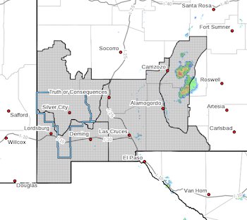
* AFFECTED AREA...Fire weather zone 110. Fire weather zone
111. Fire weather zone 112. Fire weather zone 113.
* WIND...Southwest winds at 20 to 25 mph with gusts to 35 mph.
* HUMIDITY...7 to 10 percent in the lowlands. 10 to 15 percent in
the mountains.
* IMPACTS...any fires that develop will likely spread rapidly.
Outdoor burning is not recommended.
PRECAUTIONARY/PREPAREDNESS ACTIONS...
A Fire Weather Watch means that critical fire weather conditions
are forecast to occur. Listen for later forecasts and possible
Red Flag Warnings.