


 CRITICAL FIRE WEATHER CONDITIONS TUESDAY... .An upper level storm system will swing through the area on Tuesday bringing with it breezy to windy conditions, which will combine with single-digit and lower teen minimum relative humidity values to create critical fire weather conditions. ERC percentiles are expected to range 75 to 90 as well. Precipitation today, Saturday, has been light and is not expected to bring significant improvements to fuel conditions.
...FIRE WEATHER WATCH IN EFFECT FROM TUESDAY AFTERNOON THROUGH
TUESDAY EVENING FOR DRY FUELS, LOW RELATIVE HUMIDITIES, AND STRONG
WINDS FOR THE SOUTHWEST AND SOUTH CENTRAL NEW MEXICO LOWLANDS AND CAPITAN / LINCOLN NATIONAL FOREST...
The National Weather Service in El Paso Tx/Santa Teresa has
issued a Fire Weather Watch, which is in effect from Tuesday
afternoon through Tuesday evening.
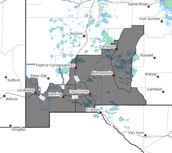
* AFFECTED AREA...Fire weather zones 111, 112, and 113. The
lowlands of Southwest and South-central New Mexico and the
Lincoln - Capitan National Forest zones.
* WIND...20 to 25 MPH with gusts up to 45 MPH.
* HUMIDITY...As low as 5 percent.
* EXPERIMENTAL RFTI...5 to 7 (out of 10)
* IMPACTS...any fires that develop will likely spread rapidly.
Outdoor burning is not recommended.
PRECAUTIONARY/PREPAREDNESS ACTIONS...
A Fire Weather Watch means that critical fire weather conditions
are forecast to occur. Listen for later forecasts and possible
Red Flag Warnings.


