


 CRITICAL FIRE DANGER EXPECTED FRIDAY... .Wind speeds are expected to increase across western areas of New Mexico Friday as a weather system approaches from the west. Southwesterly winds of 25 to 30 mph will be common during the afternoon and evening hours. These winds will combine with very hot and dry conditions resulting in an increase in fire danger across western fire zones including the Gila region along with southwest New Mexico.
NMZ110-111-122000-
/O.NEW.KEPZ.FW.A.0011.240614T1700Z-240615T0300Z/
Southwest Mountains/Gila NF/Apache NF/GLZ-
Southwest Deserts and Lowlands/Las Cruces BLM/GLZ-
1234 PM MDT Tue Jun 11 2024
...FIRE WEATHER WATCH IN EFFECT FROM FRIDAY MORNING THROUGH
FRIDAY EVENING FOR STRONG WINDS AND VERY LOW HUMIDITY FOR FIRE
WEATHER ZONES 110 AND 111...
The National Weather Service in El Paso Tx/Santa Teresa has
issued a Fire Weather Watch, which is in effect from Friday
morning through Friday evening.
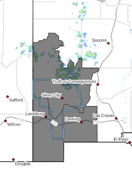
* AFFECTED AREA...Fire weather zone 110. Fire weather zone 111.
* WIND...Southwest 25-30 mph with gusts to 35 mph.
* HUMIDITY...7 to 10 percent lowlands and 8 to 12 percent
mountains.
* EXPERIMENTAL RFTI...6 to 7 Critical to Extreme
* IMPACTS...any fires that develop will likely spread rapidly.
Outdoor burning is not recommended.
PRECAUTIONARY/PREPAREDNESS ACTIONS...
A Fire Weather Watch means that critical fire weather conditions
are forecast to occur. Listen for later forecasts and possible
Red Flag Warnings.


