


 CRITICAL FIRE DANGER TUESDAY FOR LOWLANDS OF SOUTHERN NEW MEXICO... .An upper level system will push through the region later on Tuesday, bringing breezy to windy conditions. 20 foot wind speeds of 20 to 30 mph are expected Tuesday afternoon from the west- southwest with gusts to 40 mph. Due to the lack of recent precipitation over the past couple months, ERC values are near record levels for this time of year. Minimum relative humidities of 10 to 15 percent are forecast Tuesday. The combination of strong winds, low humidity, and dry fuels result in critical fire weather conditions Tuesday afternoon and early evening.
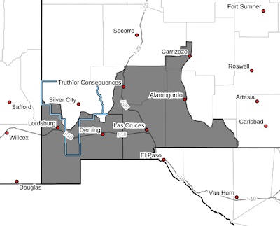
Southwest Deserts and Lowlands/Las Cruces BLM/GLZ-
South Central Lowlands and Southern Rio Grande Valley/BLM/GLZ-
1240 PM MST Sun Feb 9 2025
RED FLAG WARNING IN EFFECT FROM NOON TO 7 PM MST TUESDAY FOR
STRONG WINDS AND LOW RH'S FOR FIRE WEATHER ZONES 111 AND 112...
The National Weather Service in El Paso Tx/Santa Teresa has
issued a Red Flag Warning, which is in effect from noon to 7 PM
MST Tuesday. The Fire Weather Watch is no longer in effect.
* WIND... West to southwest winds 20 to 30 mph with gusts to 40
mph.
* HUMIDITY...10 to 15 percent.
* EXPERIMENTAL RFTI...4 to 6 on the scale of 0 to 10.
* HIGHEST THREAT...is located along and west of the Rio Grande
Valley after 2 PM.
* IMPACTS...any fires that develop will likely spread rapidly.
Outdoor burning is not recommended.
PRECAUTIONARY/PREPAREDNESS ACTIONS...
A Red Flag Warning means that critical fire weather conditions
are either occurring now, or will shortly. A combination of
strong winds, low relative humidity, and warm temperatures can
contribute to extreme fire behavior.


